Land Use, Natural Resources, and Biodiversity
Martha’s Vineyard is home to globally rare ecosystems and a wide array of biodiversity. The actions in this focus area strive to preserve and better manage the Island’s natural resources. Actions also focus on improving zoning and land use management to ensure safety of our community.
Page Links
Land Use, Natural Resources, and Biodiversity Updates
🌱 Climate Action Resolutions: 5 Ways You Can Help Build a More Resilient Vineyard in 2026
Biochar Farm Demonstrations on Martha’s Vineyard
Building Water Resilience on Martha’s Vineyard
Ways to Take Action
Challenges
The challenges associated with climate change are vast and varied, and will continue to evolve as climate change progresses. At the time of the Climate Action Plan’s creation, these challenges were at the forefront of the Land Use, Natural Resources, and Biodiversity thematic area.
Coastal erosion and flooding
Salt marsh loss
Loss of open space biodiversity and extinction
Groundwater demand and degradation
Degraded pond water quality
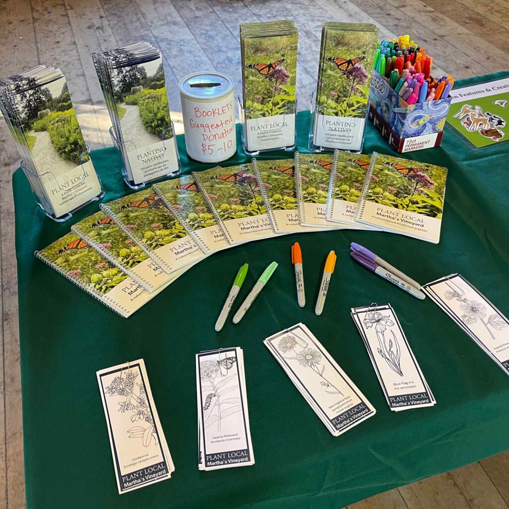
Selecting Native Plants
Climate change is impacting all of us on Martha’s Vineyard. As an island, the ocean serves as a daily reminder of how fragile our existence can be in the face of sea level rise and increasingly powerful storms.
There is a growing movement of community members who want to do something before it’s too late. With the help of the MVC, they are organizing, planning for these changes, and taking action.
Considerations
While climate change is a worldwide phenomenon, there are some aspects that are unique to the Martha’s Vineyard community. These considerations guided the detailed goals, objectives, and actions in the Land Use, Natural Resources, and Biodiversity thematic area.
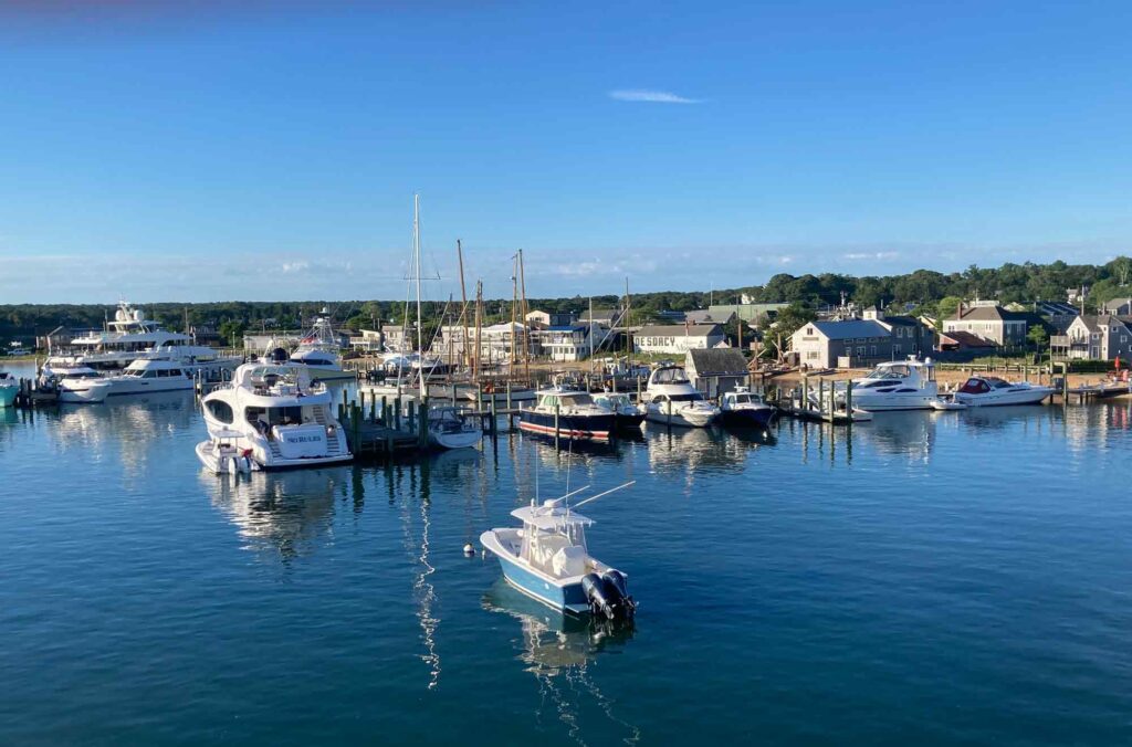
A Growing Community
Dukes and Nantucket Counties have the fastest population growth in the state. As more people call the Island home, we need to ensure that we are growing smart and protecting the health of our diverse natural areas and keep people out of current and future risk areas.
7,400 new houses and 9,000 guesthouse could be built based on current zoning. Currently 313 buildings will be permanently flooded by 2050 due to sea level rise, storms, and storm surge. The development planning and zoning choices we make now can either aid in building resilience or create new vulnerabilities.
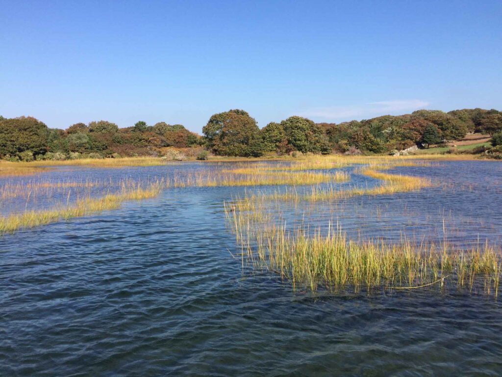
Protecting our Environment that Protects Us
Wetlands and Ponds
Over the last 25 years, clearing land and planting non-native species contributed to a loss of nearly 10% of our native flora. For new and existing properties, enhancing biodiversity is critical to supporting healthy resilient ecosystems.
Without room to migrate inland, many salt marshes could turn into tidal flats as the sea rises. Over 266 of the Island’s 3,500 acres of wetlands (largely salt marshes) could be lost by 2050. Taking steps to protect these areas for wetland migration will help retain their ecosystem values and build resilience.
Nearly every one of our 27 coastal ponds are currently classified as “impaired”. Taking action to reduce pollutants and runoff will help our pond ecosystem resilience to climate change.
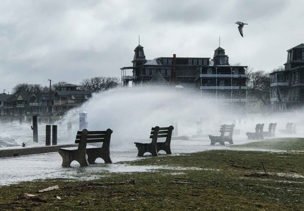
Smart Land Use
Equity Considerations
On our Island, equitable access to basic resources is already under stress. Our growing population is living in prolonged states of insecurity – a problem which will deepen in the face of climate impacts. The Vineyard Way plan aims to foster careful land use decision-making that is inclusive of the community and can help keep our most vulnerable residents out of harm’s way while also promoting of a healthy environment. If not done thoughtfully, however, our existing land use patterns stand to broaden inequality, further endanger our most vulnerable populations, degrade our environment, and impair the overall resilience of our community.
Land Use, Natural Resources, and Biodiversity Goals and Action Plan
Awaiting Resources
In Progress
Complete
Goal 1
By 2040, land use decision-making prioritizes public safety and ecosystem values potentially impacted by climate change.
Objective 1
By 2024, identify and map coastal and inland land vulnerable to flooding, land vulnerable to extreme wildfire risks, associated ecosystems, and land suitable for undevelopment that significantly contribute to climate resilience and public safety. (Some actions support Overarching Goal 1)
Action 1.1
All existing, relevant mapping is collected and synthesized.
2023
Action 1.2
Required new mapping is identified, created, and added to the overall synthesis.
2023-2024
Action 1.3
Review maps to identify areas of priority concern related to extreme flooding, wildfire, and contributors to climate resilience.
2024
Action 1.4
With other working groups, develop a collaborative long-term vision and land use decision-making framework that builds environmental and socioeconomic resilience.
2025
Objective 2
By 2028, develop tools to protect and enhance prioritized ecosystems that provide public safety benefits. (Some actions support Overarching Goal 1.)
Action 2.1
Complete pilot Sengekontacket Pond Salt Marsh Migration Study.
2022
Action 2.2
Design an education program about the connection between the health of marsh ecosystems, climate resilience, and public safety.
2024
Action 2.3
Commission a comprehensive shoreline management plan for future public beach and coastal management.
2025
Action 2.4
Assess health and migration potential of Island salt marshes and ID priority salt marshes for restoration.
2025
Action 2.5
Develop an Island-wide DCPC to enable salt marsh migration.
2025
Action 2.6
Develop a demonstration project to evaluate the potential value of biochar in sequestering carbon and benefiting soil restoration, biodiversity, wildfire management, and water quality.
2026
Action 2.7
Update Town Wetlands Bylaws and regulations for coastal and inland wetlands and flood zones.
2026
Action 2.8
Investigate the concept of an Island-wide DCPC to regulate and minimize new coastal armoring.
2026
Action 2.9
Restore priority salt marshes.
2030
Objective 3
By 2026, development in harm’s way is discontinued or managed through local, regional, and state regulations to minimize climate risks to public safety. (Some actions support Overarching Goal 1)
Action 3.1
Develop an MVC DRI Policy for flood risk areas and update other relevant DRI Policies.
2023 for Flood Risk Policy, 2025 for updates
Action 3.2
Collaboratively update town floodplain bylaws for consistency, based on climate science, that address relocation of damaged or at-risk coastal structures.
2024
Action 3.3
Create an Island-wide map of potential sites where habitat and infrastructure might migrate due to flooding and sea level rise.
2024
Action 3.4
With other working groups, develop a collaborative long-term vision and land use decision-making framework that builds environmental and socioeconomic resilience.
2025
Action 3.5
Implement Dukes County Community Wildfire Protection Plan and work with PH&S TWG to develop shared messaging about biodiversity and public safety.
2025
Action 3.6
Implement a pilot program to undevelop vulnerable areas to allow for ecosystem protection and migration.
2028
Action 3.7
Design an outreach program to help the community become more aware of and comfortable with the idea of undevelopment.
2028
Action 3.8
Develop a decision-making process for towns to turn undeveloped land into stormwater retention sites/ public open space.
2030
Goal 2
By 2040, natural resources and biodiversity on Martha’s Vineyard are cooperatively managed and protected to maintain and promote habitat health, connectivity, and resiliency.
Objective 1
By 2025, a conservation summit convenes every 2-3 years where conservation organizations identify data gaps and develop collaborative projects that promote connectivity and resilience toward targets developed in the process. (Some actions support Overarching Goal 1.)
Action 1.1
A map of current ecosystems and current and potential habitat corridors is complete for public and private lands and water.
2024
Action 1.2
Convene small summit of conservation professionals to review map and identify actions, partnerships, and priorities.
2025
Action 1.3
With other working groups, develop a collaborative long term vision and land use decision-making framework that builds environmental and socioeconomic resilience.
2025
Action 1.4
Create a public version of the map to be shared broadly.
2025
Action 1.5
Execute conservation summit every 2-3 yrs to update map as projects move forward.
Ongoing
Objective 2
By 2024, with the guidance of the Tribe, the Island has established minimum standards for the use of native vegetation for municipally maintained greenspaces.
Action 2.1
Collect information on native species and provide plant information on website for landscaping.
2024
Action 2.2
Make native seed bank available to sell to established nurseries or landscapers to offer more natives.
2025
Action 2.3
Bring together towns/park commissioners to develop guidelines for native plant species on public lands.
2024
Action 2.4
Each town adopts guidelines for native species on public lands.
2025
Action 2.5
Share guidelines for all public and private green spaces, including lawns, that promote 30% cultivated / 70% native plants.
2025
Action 2.6
Promote landscape architect designers who specialize in native landscapers.
2025
Action 2.7
Conduct classes with landscapers/landscape architects on natural landscape design.
2026
Objective 3
By 2025, a maximum % disturbance per acre is established for all new development over one acre, except for the purpose of restoring native ecological habitat.
Action 3.1
Define “disturbance” and use a graphic design to demonstrate scenarios that incorporate ecological landscape design.
2024
Action 3.2
Bring together town planning boards to develop a set of regulations that include maximum disturbance percentage.
2024
Action 3.3
Each town adopts regulations for maximum disturbance percentage.
2025
Goal 3
By 2040, we will have protected our coastal ponds and sole source aquifer against the increasing pressures of climate change and population growth.
Objective 1
Nitrogen mitigation and other pollutant strategies have been identified, approved, funded, and implemented for each priority coastal ponds by 2027 and all other coastal ponds by 2030.
Action 1.1
Create an interdisciplinary team to conduct a biannual review of current monitoring results and how they inform decision making.
2023
Action 1.2
Create a water monitoring network to coordinate water sampling and testing and to share data and findings.
2023
Action 1.3
For each coastal pond, identify what data has been collected and what data is missing/necessary to readjust nutrient limits.
2024
Action 1.4
Fund the collection of necessary data to achieve Action 1.2.
2024
Action 1.5
Implement mitigation strategies that have been proven to be effective based on existing studies and future research.
2024
Objective 2
By 2026, island-wide bylaws and regulations are in place which will ensure the aquifer remains safe and potable, experiences sustainable recharge, and is consumed in a manner that is responsive to population growth, changes in precipitation, and air temperature.
Action 2.1
Monitor the aquifer and factors that could impact its sustainability (trends, population, changing weather patterns).
2023
Action 2.2
Identify threats (e.g. land use, consumption) to aquifer and establish water use thresholds based on future climate conditions.
2025
Action 2.3
Conduct a study to inform land use decision-making and regulations to protect the aquifer and avoid drawdown.
2026
Thematic Working Group Members
Kara Shemeth
Brianna Oliveira
Tim Boland
Rose Ryley
Tim Simmons
Sheri Caseau
Shea Fee
Emma Green-Beach
Ian Peach
Luanne Johnson
Nancy Weaver
Shelley Edmundson
Jo-Ann Taylor
Emily Reddington
Bill Veno
Garret Albiston
Beckie Finn
Suzan Bellincampi
Kat Monterosso
Carole Vandal
